Providing complete GB coverage, the OS Explorer map series details information essential in the great outdoors, including youth hostels, pubs and visitor information. Rights of way, fences, permissive paths and bridleways are clearly shown, ensuring you have the best information to get the most out of...
Ordnance Survey Explorer Active 460 North Lewis Map With Digital Version, D
Providing complete GB coverage, the OS Explorer map series details information essential in the great outdoors, including youth hostels, pubs and visitor information. Rights of way, fences, permissive paths and bridleways are clearly shown, ensuring you have the best information to get the most out of...
Providing complete GB coverage, the OS Explorer map series details information essential in the great outdoors, including youth hostels, pubs and visitor information. Rights of way, fences, permissive paths and bridleways are clearly shown, ensuring you have the best information to get the most out of...
Ordnance Survey Explorer Active 483 Dornoch & Tain Map With Digital Version - Orange, Orange
Providing complete GB coverage, the OS Explorer map series details information essential in the great outdoors, including youth hostels, pubs and visitor information. Rights of way, fences, permissive paths and bridleways are clearly shown, ensuring you have the best information to get the most out of...
Providing complete GB coverage, the OS Explorer map series details information essential in the great outdoors, including youth hostels, pubs and visitor information. Rights of way, fences, permissive paths and bridleways are clearly shown, ensuring you have the best information to get the most out of...
Ordnance Survey Explorer Active Ol 10 Arundel & Pulborough Map - Orange, Orange
FeaturesSouth DownsSouth Downs WayWey-South PathMonarch's Way (Book 3)South Downs Way (National Trail)West SussexBognor RegisLittlehamptonWorthing1:25 000 scale (4 cm to 1 km - 2.5 inches to 1 mile)This map comes with a digital version which you can download to your smartphone or tablet.

Ordnance Survey Explorer Active Ol 11 Brighton & Hove Map - Orange, Orange
FeaturesSouth DownsSouth Downs WaySussex Border PathVanguard WayDowns LinkMonarch's Way (Book 3)South Downs Way (National Trail)East SussexWest SussexBrighton and HoveLewesNewhavenShoreham-by-Sea1:25 000 scale (4 cm to 1 km - 2.5 inches to 1 mile)This map comes with a digital version which you can download...
FeaturesRhymney Valley Ridgeway FootpathUsk Valley WalkTaff TrailSt Illtyd's WalkBrecon/AberhondduMerthyr Tydfil/Merthyr TudfulBrecon Beacons National ParkMid GlamorganWest GlamorganDyfedPowys1:25 000 scale (4 cm to 1 km - 2.5 inches to 1 mile)This map comes with a digital version which you can download...
Ordnance Survey Explorer Active Ol 14 Wye Valley & Forest Of Dean Map - Orange, Orange
FeaturesOffa's Dyke PathWye Valley Walk (Guide Book)Severn WayDaffodil WayThree Castles WalkJubilee Way (Avon)Gloucestershire WayWysis WayOffa's Dyke Path (National Trail)Chepstow/Cas-GwentMonmouth/ TrefynwyRoss-on-WyeHereford and WorcesterGloucesterGwentWye Valley & Forest of Dean1:25 000 scale (4 cm...
Providing complete GB coverage, the OS Explorer map series details information essential in the great outdoors, including youth hostels, pubs and visitor information. Rights of way, fences, permissive paths and bridleways are clearly shown, ensuring you have the best information to get the most...
Providing complete GB coverage, the OS Explorer map series details information essential in the great outdoors, including youth hostels, pubs and visitor information. Rights of way, fences, permissive paths and bridleways are clearly shown, ensuring you have the best information to get the most out of...
Ordnance Survey Explorer Active Ol21 South Pennines Map With Digital Version - Orange, Orange
Providing complete GB coverage, the OS Explorer map series details information essential in the great outdoors, including youth hostels, pubs and visitor information. Rights of way, fences, permissive paths and bridleways are clearly shown, ensuring you have the best information to get the most out of...
Ordnance Survey Explorer Active Ol 23 Cadair Idris & Llyn Tegid Map - Orange, Orange
Providing complete GB coverage, the OS Explorer map series details information essential in the great outdoors, including youth hostels, pubs and visitor information. Rights of way, fences, permissive paths and bridleways are clearly shown, ensuring you have the best information to get the most out of...
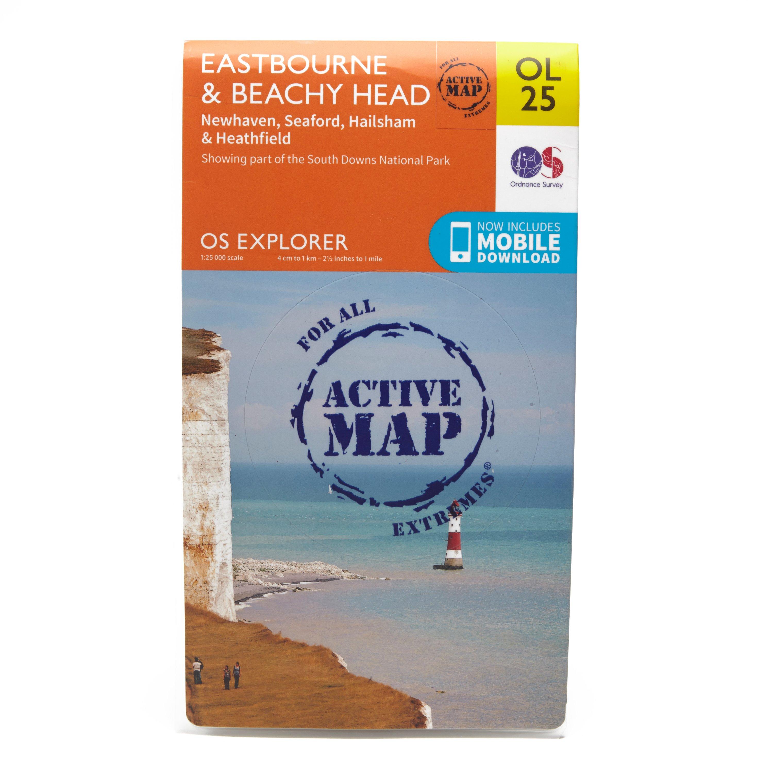
Ordnance Survey Explorer Active Ol 25 Eastbourne & Beachy Head Map - Orange, Orange
FeaturesSouth DownsSouth Downs WayWealdwayVanguard WayCuckoo Trail1066 Country WalkSouth Downs Way (National Trail)East SussexEastbourneNewhavenUckfieldActive weatherproof map1:25 000 scale (4 cm to 1 km - 2.5 inches to 1 mile)This map comes with a digital version which you can download to your smartphone...
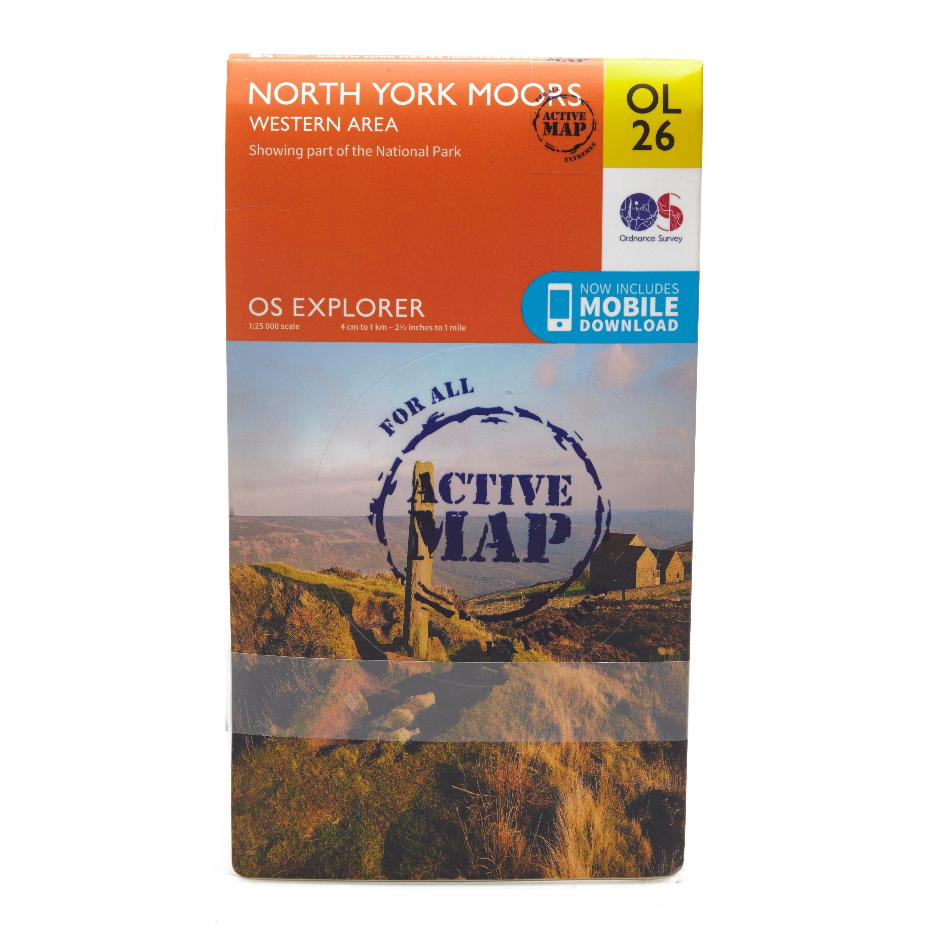
Ordnance Survey Explorer Active Ol26 North York Moors - Western Area Map, D
FeaturesCleveland WayEbor WayCleveland StreetTeesdale WayTees Link (Strategic Link to be shown at 50k)Marton West Beck TrailCleveland Way (National Trail)E2 (European Long Distance Route)MiddlesbroughNorth YorkshireNorth York Moors National ParkClevelandActive weatherproof map1:25 000 scale (4 cm to...